


Latest News About Earth
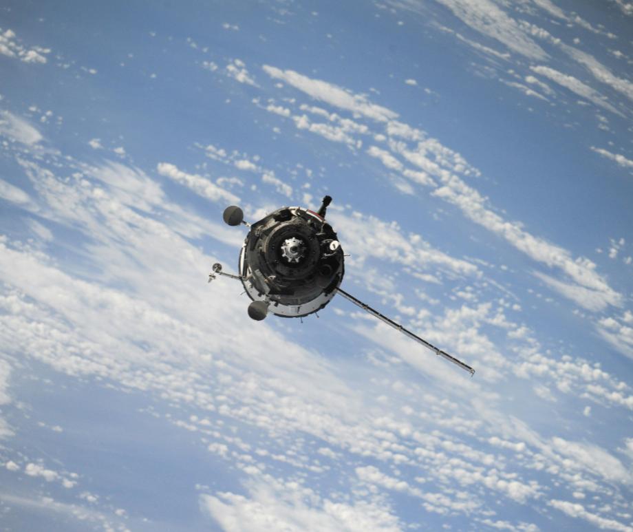
Spacecraft observations may conceal how particles really move through near-Earth space
August 6, 2026
Particles moving in a "predictable" way can create patterns very similar to random movement or "diffusion" when observed by a spacecraft. Read more
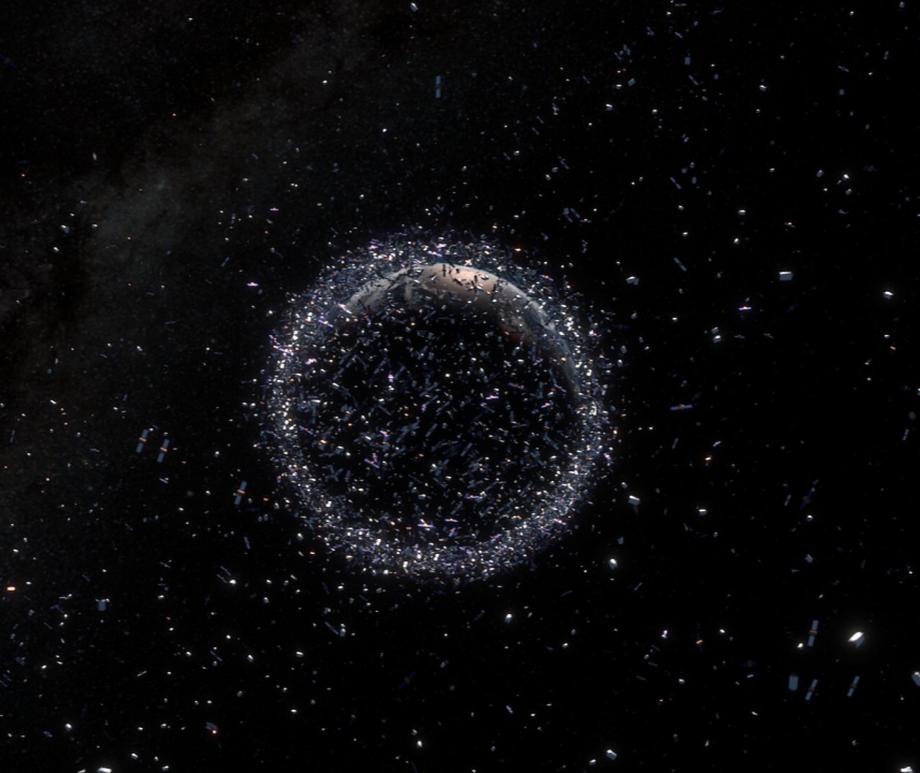
'Crazy idea' succeeds: Scientists monitor space junk with radio telescopes
July 28, 2026
"That's the first time that's ever been done." Read more
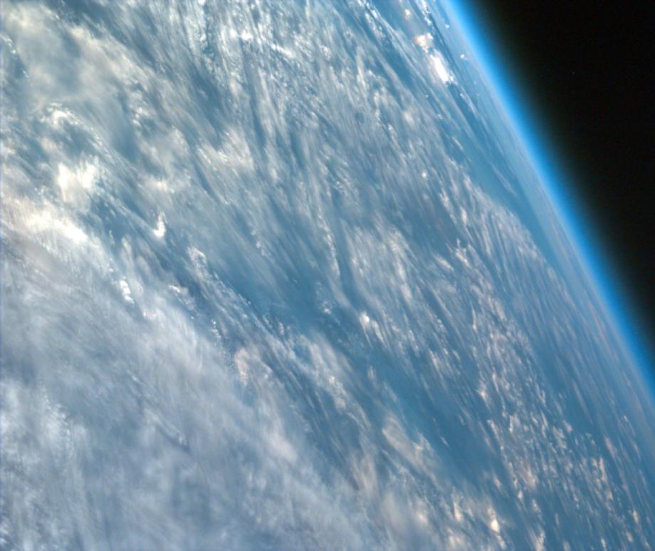
Can giant space mirrors boost green energy on Earth? A start-up aims to find out
July 17, 2026
Astronomers are deeply worried that a planned array of 50,000 mirror-bearing satellites in orbit will severely compromise telescopes. Read more
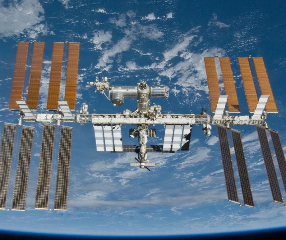
Space medicine breakthrough? Kidney and liver tissue bioprinted off Earth for 1st time ever
July 12, 2026
"This mission marks an exciting step forward for in-space biomanufacturing." Read more
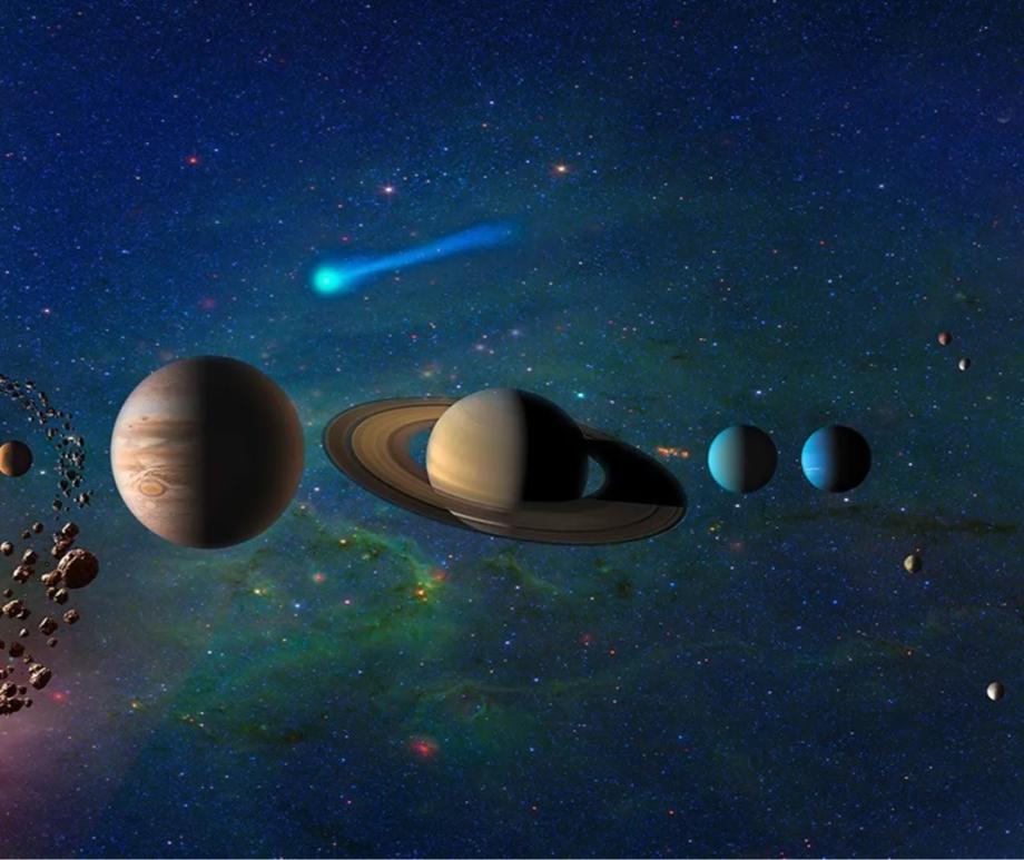
Was life delivered to Earth by asteroids with a helping hand from Jupiter?
June 17, 2026
Jupiter's prescence seems to have played a critical cole in the distribution of the basic chemical ingredients needed for life. Read more
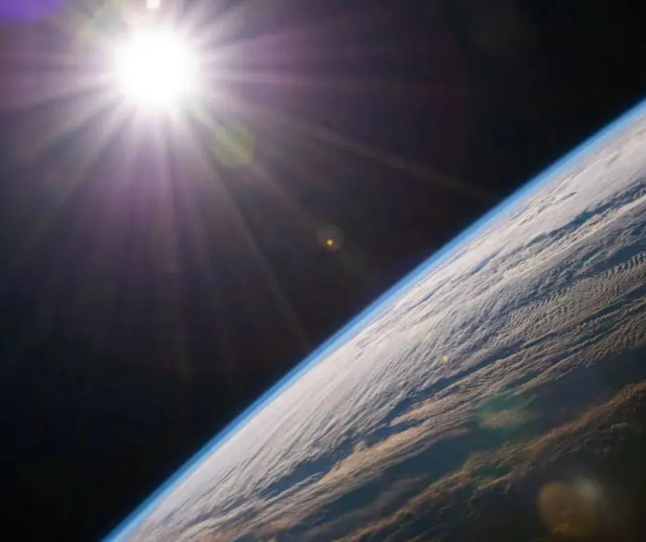
Earth may survive the sun's death after all, new study suggests
July 8, 2026
"Observations of sun-like giant stars currently point towards Earth's survival, but we need better observations before we can be certain." Read more
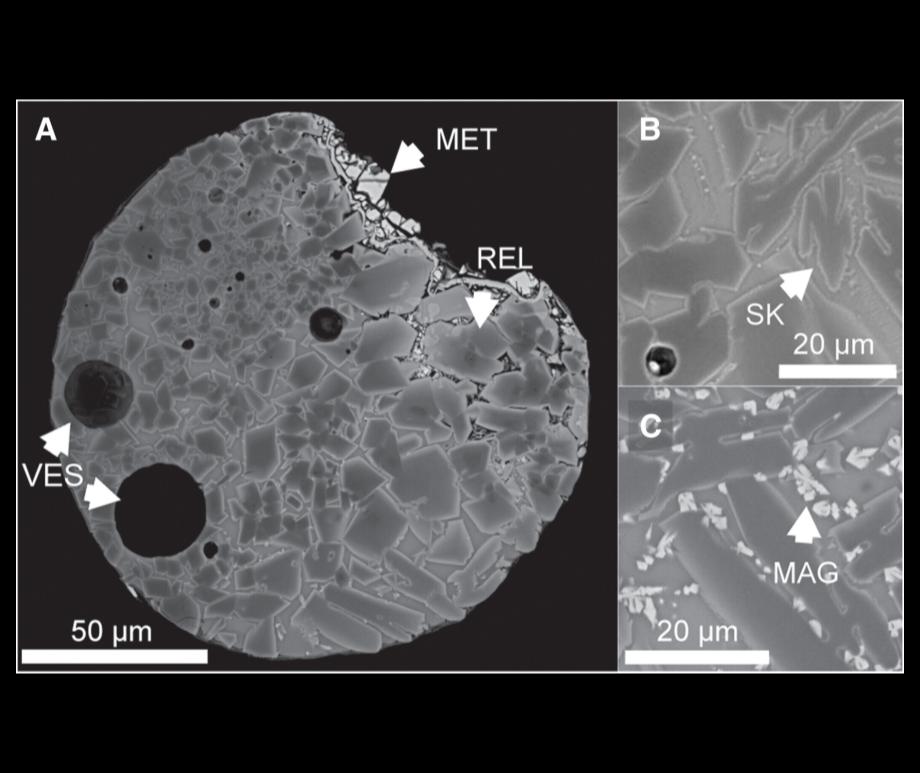
Much of Earth's 'space dust' may come from unidentified near-Earth asteroids
July 7, 2026
A recent study describes a new subset of space dust with such mysterious origins and how researchers are tracking down potential sources. Read more
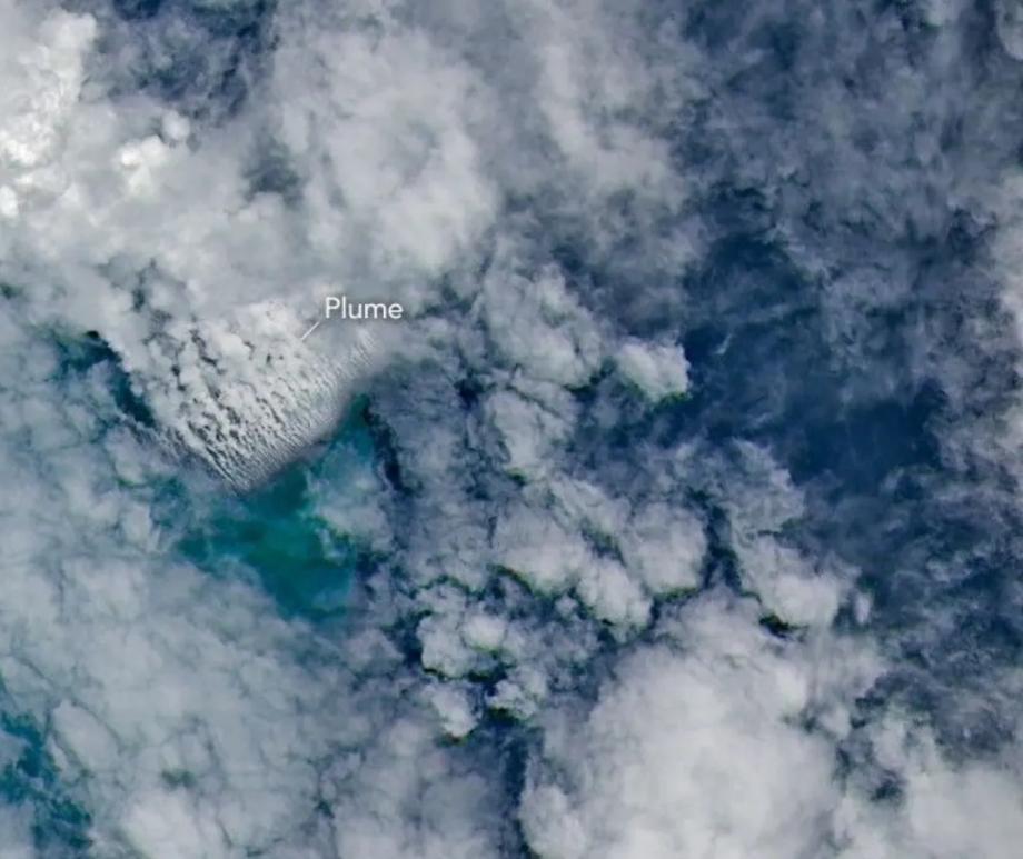
Satellites imaged an underwater volcano erupting — but scientists have no idea what's actually happening on the seafloor
May 26, 2026
"This new eruption could present an even better opportunity for 'island-naut' exploration as we prepare to return to the moon with women and men via Artemis IV." Read more

Astronauts face grip strength challenge in space and on Earth, scientists find
April 20, 2026
It turns out that living in space can have a lasting impact on how your brain works, researchers have found. Read more

Light pollution has brightened Earth by 16% since 2014, satellites find
April 9, 2026
But some regions are dimming due to energy-saving policies, wars and disasters. Read more

Best images of our planet and satellite captured by the Artemis II crew during their mission
April 7, 2026
A selection of images of Earth and the Moon captured during Artemis II. Read more

Space launches are changing the chemistry of Earth's atmosphere, studies warn.
March 8, 2026
Studies warn of ozone depletion, stratospheric heating and new metal aerosols from burning spacecraft. Read more

Ancient reversal of Earth’s magnetic field took an extraordinarily long time
March 3, 2026
These findings could have important implications for our understanding of Earth’s climate and evolutionary history. Read more

Snowball Earth's liquid seas dipped way below freezing
March 1, 2026
Iron isotopes show that salty seawater pockets beneath the ice were as cold as −15°C. Read more

Antarctica's 'gravity hole' reveals the evolution of Earth's deep interior
February 25, 2026
A dip in Earth's gravity field beneath Antarctica is helping scientists track deep-Earth changes. Read more

Too many satellites?
February 17, 2026
Earth’s orbit is on track for a catastrophe – but we can stop it. Read more

Earth orbit is getting crowded
February 10, 2026
Can this map of 1 million routes around our planet help prevent satellite collisions? Read more

Scientists propose surprising link between space weather and earthquakes
February 10, 2026
A new theoretical study explores how activity high above Earth could subtly influence processes deep within the planet’s crust. Read more

The way Earth's surface moves has a bigger impact on shifting the climate than we knew
February 7, 2026
New research reveals the source of this carbon – and the driving forces behind it – are far more complex than previously thought. Read more

How Earth's atmosphere and climate come together to create a polar vortex
January 28, 2026
To understand what Americans are experiencing with this winter blast, we need to look more than 20 miles above the surface of Earth Read more

Earthquake sensors can track space junk that crashes back to Earth
January 24, 2026
"Starlink satellites demise over the Pacific, but there is no way to actually check that out." Read more

Satellites help map Antarctica's subglacial surface like never before
January 15, 2026
Understanding Antarctica's topography beneath the ice is crucial to predicting ice loss and sea level rise. Read more

The US isn't prepared for a big solar storm, exercise finds
December 14, 2025
We need more satellites to keep tabs on incoming clouds of solar particles. Read more

Earth and solar system may have been shaped by nearby exploding star
December 11, 2025
A new explanation for the solar system's radioactive elements suggests Earth-like planets might be found orbiting up to 50 per cent of sun-like stars Read more

Earth's newfound 'episodic-squishy lid' may guide our search for habitable worlds
November 30, 2025
A newly discovered tectonic "regime" may explain why Earth has active plates while Venus remains stagnant. Read more

Scientists put moss on the outside of the International Space Station for 9 months — then kept it growing back on Earth
November 20, 2025
80% of the samples kept reproducing when returned to Earth. Read more

Scientists find a surprising twist in Earth's magnetic field
November 13, 2025
Simulations and satellite data reveal that Earth's magnetic field is more complex than scientists had thought. Read more

Will Earth have 2 moons orbiting it?
October 22, 2025
Astronomers explain the 'quasi-moon' Read more

Swarm reveals growing weak spot in Earth’s magnetic field
October 13, 2025
The weak region in Earth's magnetic field has expanded by an area nearly half the size of continental Europe since 2014. Read more

Scientists discover Earth's oldest impact crater in Australia
October 3, 2025
"This is a major breakthrough in understanding early Earth" Read more

Earth may not be so special after all, new study finds
September 25, 2025
Our solar system contain far less surface water than scientists once believed Read more

It came from outer space: Scientists solve decades-long mystery of the Silverpit Crater
September 23, 2025
"It is very rewarding to have finally found the silver bullet." Read more
Fascinating Facts About Earth
- If the sun were as tall as a typical front door, Earth would be the size of a nickel.
- Earth completes an orbit of the Sun every 365.25 days; this is where the 366th day of the leap year comes from, and we add it to keep yearly calendars consistent with our orbit around the sun.
- Earth is the only planet not named after a god or goddess.
- Earth is different from the other rocky planets because 70 percent of its surface is covered in oceans. Although most of the Earth’s surface is covered in oceans, water only makes up 0.13% of the total volume of the planet. Hence, if Earth was the size of a basketball, all the water in the world would amount to two teaspoons.
- Earth's atmosphere protects us from incoming meteoroids, most of which break up in our atmosphere before they can strike the surface as meteorites.
- The first being to orbit the Earth was Laika the dog in 1957. A few years later, dogs Belka and Strelka became the first creatures to return from space alive.
- Earth is the densest planet with a density of 5.52 grams per cubic centimeter. The density of water is 1 gram per cubic centimeter.
Missions
NISAR (2025-Present)
Measure and understand changes in Earth’s land, ice, water, and vegetation.
IRIDE (2025-Present)
Support the monitoring of phenomena including ground motion, land cover, water resources, coastal areas and more.
Biomass (2025-Present)
Measure global forest above-ground biomass
HydroGNSS (2025-Present)
easure hydrological climate variables.
PACE (2024-Present)
Study the health of Earth's climate and ocean
PREFIRE (2024-Present)
Study Arctic heat emissions
Arctic Weather Satellite (2024-Present)
Provide data for very short-term weather forecasts and nowcasts in the Arctic, and around the world.
EarthCARE (2024-Present)
Study the role that clouds and aerosols play in regulating Earth’s climate.
TEMPO (2023-Present)
Measure air quality over the Northern Hemisphere.
TROPICS (2023-Present)
Improve forecasting for hurricanes and typhoons
EMIT (2022-Present)
Advance understanding of mineral dust’s effects throughout the Earth system and to human populations
SWOT (2022-Present)
Collect detailed measurements of how water bodies on Earth change over time
Sentinel-6 (2020-Present)
Measure global sea-level rise to understand how Earth's climate is changing
Ф-sat (2020-Present)
Experiment to demonstrate how artificial intelligence can be used for Earth observation
ECOSTRESS (2018-Present)
Accurately measure the temperature of plants on Earth
GEDI (2018-Present)
Determine how deforestation has contributed to atmospheric CO2 concentrations
JPSS (2017-Present)
Provide sophisticated meteorological data
CYGNSS (2016-Present)
Measure wind speeds over Earth's oceans
Jason-3 (2016-Present)
Measure the height of the ocean surface
DSCOVR (2015-Present)
Real-time solar wind observations to provide early warnings about geomagnetic storms
Soil Moisture Active Passive (2015-Present)
Mission to provide soil moisture and freeze/thaw measurements
Global Precipitation Measurement (2014-Present)
Measure Earth's precipitation
Orbiting Carbon Observatory 2 (OCO-2) (2014-Present)
Mission to study atmospheric carbon dioxide
Landsat 8 (2013-Present)
Mission to monitor, understand and manage resources
Swarm (2013-Present)
dedicated to unravelling one of the most mysterious aspects of our planet: the magnetic field
Suomi NPP (2011-Present)
Mission to acquire land, ocean and atmospheric measurements
CryoSat (2010-Present)
ESA’s Earth Explorer CryoSat mission is dedicated to measuring the thickness of polar sea ice and monitoring changes in the ice sheets that blanket Greenland and Antarctica.
SMOS (2009-Present)
dedicated to making global observations of soil moisture over land and salinity over oceans.
MetOP A/B/C (2006-Present)
Create more precise weather forecasts
Aura (2004)
Mission to study chemistry and dynamics of the atmosphere
Aqua (2002-Present)
Mission to collect a variety of global data sets from six observation instruments
Terra (1999-Present)
Mission to collect observational data of Earth
ACE (1997-Present)
Study spaceborne energetic particles
Meteosat (1977-Present)
Europe’s series of Meteosat satellites has been improving the accuracy of weather forecasts for over 40 years.
LAGEOS (1976-Present)
Enable precise laser measurements of Earth’s shape, rotation and gravity field
ICON (2019-2022)
Mission to explore Earth’s ionosphere
Aeolus (2018-2023)
Aeolus was the first satellite mission to acquire profiles of Earth’s wind on a global scale.
ELFIN (2018-2022)
Student-led investigation of a process that allows energetic electrons to escape Van Allen Belts and fall into Earth
OMG (2016-2021)
Understand the role that ocean water plays in melting Greenland’s glaciers
ACT-America (2016-2019)
Study the terrestrial carbon cycle
ATom (2016-2018)
Study the impacts of human-produced air pollution
CORAL (2016-2017)
Analyze the status of Earth's coral reefs
NAAMES (2015-2020)
Study ocean ecosystem-atmosphere connection
CATS (2015-2017)
Measure Earth's atmospheric aerosols and clouds
AirMOSS (2012-2015)
Observe North American soil moisture
HS3 (2012-2014)
Mission to study hurricane formation
Aquarius (2011)
Mission to measure sea surface salinity
Airborne Tropical Tropopause Experiment (ATTREX) (2013)
Mission to study moisture and chemical composition of upper atmosphere
CARVE (2011-2015)
Measure carbon dioxide, methane, and carbon monoxide in Earth's atmosphere
DISCOVER-AQ (2011)
Mission to measure difference in air quality in upper atmosphere and near surface
FASTSat (2010-2013)
Technology demonstration
GRIP (2010)
Study hurricanes
IceBridge (2009)
Mission to produce three-dimensional view of Arctic and Antarctic ice sheets
GOCE (2009-2013)
dedicated to map Earth's gravity with unrivalled precision and provided the most accurate model of the 'geoid' ever produced to further our understanding of how Earth works.
ARCTAS (2008)
Mission to study effect of air pollution in the Arctic
AIM (2007-2023)
Study night-shining clouds
Cloud-Aerosol Lidar and Infrared Pathfinder Satellite Observation (CALIPSO) (2006)
Mission to study role of clouds and atmospheric aerosols in climate, weather and air quality regulation
CloudSat (2006)
Mission to study role of clouds and atmospheric aerosols in climate, weather and air quality regulation
Gravity Probe B (2004-2011)
Measure two key predictions of Einstein's general theory of relativity
Ice, Clouds, and Land Elevation Satellite (ICESat) (2003-2010)
Mission to understand effect of atmosphere and climate change on polar masses
Envisat (2002-2021)
The mission delivered thousands of images and a wealth of data used to study the workings of the Earth system, including insights into factors contributing to climate change
Cluster II (2000-2024)
Study Earth's magnetic environment
EO-1 (2000-2017)
Demonstrate new technologies and strategies for Earth observations
CHAMP (2000-2010)
Measure Earth's gravity and magnetic field
IMAGE (2000-2005)
Studied the response of Earth’s global magnetic environment
ACRIMSAT (1999-2013)
Study total solar irradiance
Leonid MAC (1998-2002)
Monitor Leonid Meteor Showers
Tropical Rainfall Measuring Mission (TRMM) (1997)
Mission to study rainfall for weather and climate research
SeaWiFS (1997-2010)
Mission to collect global ocean biological data
ADEOS / Midori (1996-1997)
Earth environmental research
TOMS-EP (1996-2007)
Long-term daily mapping of the global distribution of the Earth's atmospheric ozone
European Remote Sensing (1995-2011)
These highly successful ESA satellites collected a wealth of valuable data on Earth’s land surfaces, oceans and polar caps and were called upon to monitor natural disasters such as severe flooding or earthquakes in remote parts of the world.
Geotail (1992-2022)
Study the tail region of the magnetosphere
Upper Atmosphere Research Satellite (UARS) (1991)
Mission to study role of upper atmosphere in varying climate
CRRES (1990-1991)
Investigate fields, plasmas, and energetic particles in Earth's magnetosphere
MOS (1987-1996)
Environmental and Coastal Protection
Geosat (1985-1990)
Measure sea surface heights
ERBS (1984-2005)
Study Earth's ozone layer
MOMS (1983-1999)
Study Earth's topography, geology, and hydrology
Dynamics Explorer (1981-1991)
Plasma waves investigation
ISEE-3 (1978-2014)
Measure energetic particles, electric and magnetic fields, and plasma parameters
Bion / Biocosmos (1973-2025)
Biomedical research on animals and plants in microgravity
IMP-8 (1973-2006)
Study the boundary between Earth’s magnetic environment and interplanetary space
ATS (1969-1979)
Weather observations, investigation of the space environment
ESSA (1966-1972)
Cloud cover photography for the American National Meteorological Center
TIROS (1960-1981)
Test the feasibility of obtaining and using TV cloudcover pictures from satellites
Explorer 1 (1958)
Cosmic ray detection